From the field
Critical incident mapping, digital twins, and emergency preparedness for security-critical facilities, written for the people responsible for them.
What Is a Cognitive Campus? From Sensors to Response
A cognitive campus uses AI, IoT, and analytics to sense events, interpret context, and automate coordinated responses across security and operations.
Read the article
First Responder Floor Plans That Save Time in Emergencies
First responder floor plans show police, fire, and EMS where to enter, where critical systems are, and how to move through a building in an emergency.
Read the article
How Threat Assessment Teams Interrupt Targeted Violence
Threat assessment identifies people moving toward targeted violence and interrupts it early. See how the process works, who runs it, and where it fails.
Read the article
What Is an Operational Digital Twin?
An operational digital twin is a living, queryable model of your building, not a BIM file or a static floor plan. See what makes a twin operational.
Read the article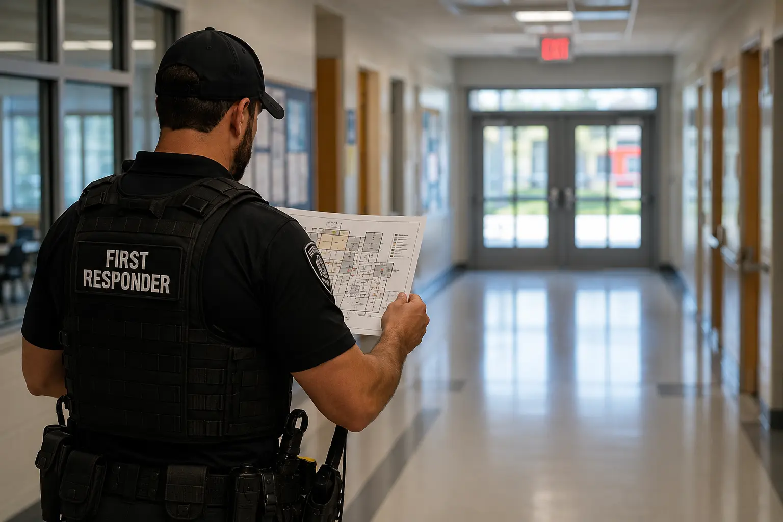
School Safety Mapping Grant: How to Fund Your Campus Maps
School safety mapping grants fund digital floor plans and GIS-based indoor maps that help first responders manage your campus during emergencies.
Read the article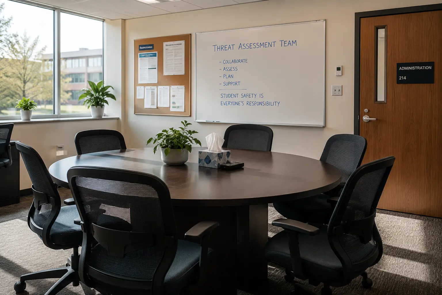
Behavioral Threat Assessment: A Team-Based Framework
Behavioral threat assessment helps schools and campuses identify and manage individuals who may pose a risk. See how effective teams run the process.
Read the article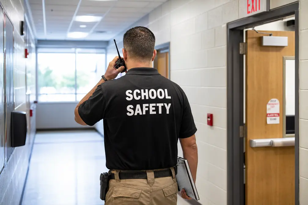
What Does Alyssa's Law Require? State-by-State Guide
Alyssa's Law requires public K-12 schools to install silent panic alert systems connecting directly to law enforcement. Requirements vary by state.
Read the article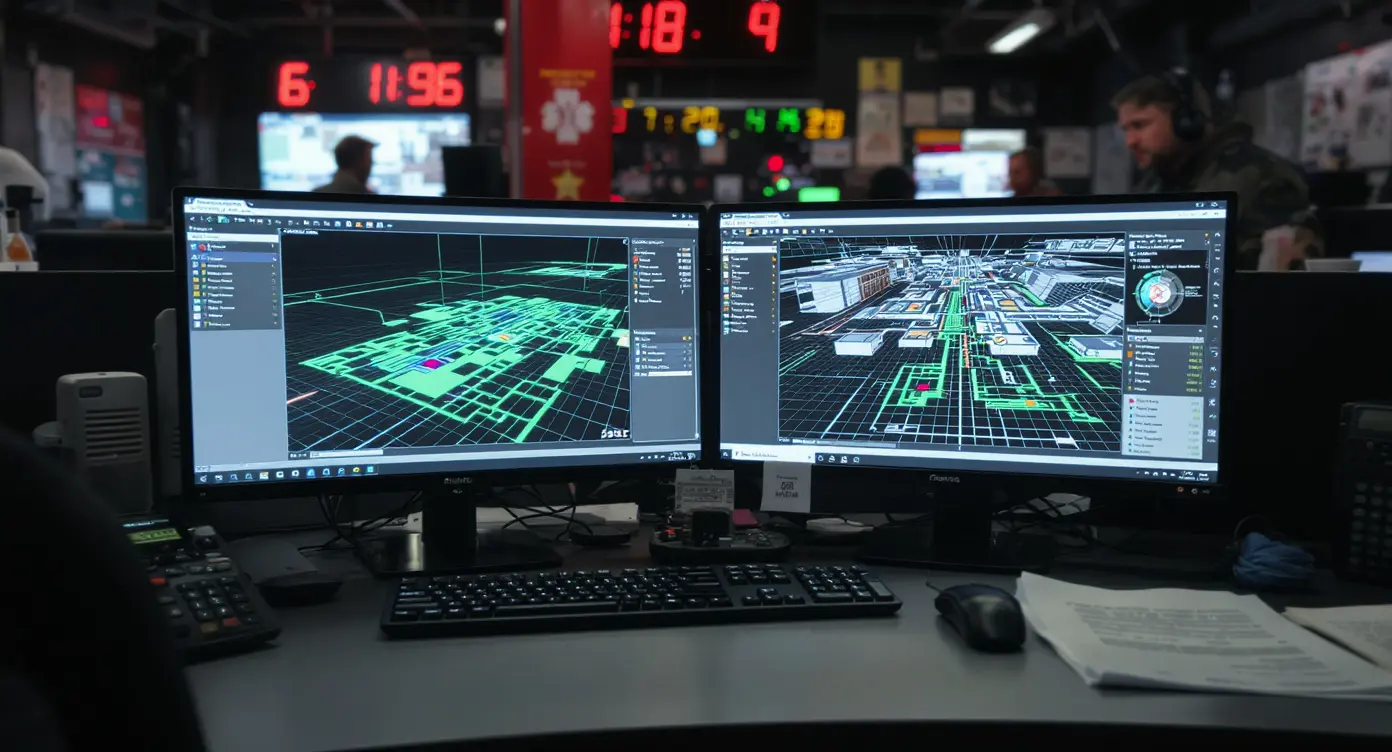
Critical Incident Mapping: The Complete Guide for Responders
Critical incident mapping gives first responders verified, gridded facility maps through CAD integration. See how compliance-grade mapping works.
Read the article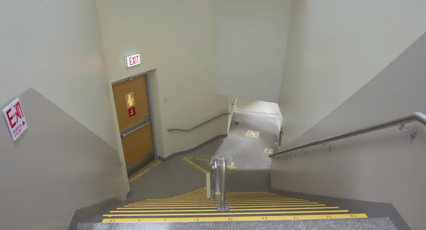
Critical Incident Mapping vs 2D Floor Plan
Critical incident mapping vs 2D floor plan compares static drawings to geospatially aware digital models built for emergency response.
Read the article